Marsais, Charente-Maritime · 24–31 July 2026
No overnight stop — driving straight through in one go.
With the dog: plan rest stops at a service area with room to walk her.
België (ring Antwerpen/Brussel): geen sticker nodig. De milieuzone geldt alleen voor de binnenstad, niet voor de ring (R1/R0). Zolang je op de E19/ring blijft, is er niets te regelen.
Frankrijk (A104/A10 om Parijs): ook geen Crit'Air-sticker nodig. De Parijse milieuzone (ZFE) geldt alleen bínnen de A86-ring, de A86 zelf en de A104 liggen daarbuiten.
Geldt alleen als je exact op de geplande route blijft (ring/A104, niet het centrum in). Wil je toch een Crit'Air-sticker voor de zekerheid: aanvragen kan alleen via de officiële site certificat-air.gouv.fr, en moet minimaal 2 weken van tevoren.
Live map from feuxdeforet.fr, French only, shows all of France by default (no way to preset it to Marsais). It has a search box, but that searches the site's articles, not places on the map — zoom/pan manually to Charente-Maritime (west coast, south of La Rochelle). First visit shows a cookie banner and a welcome popup in French: click the orange "J'ACCEPTE" button, then "Poursuivre la navigation".
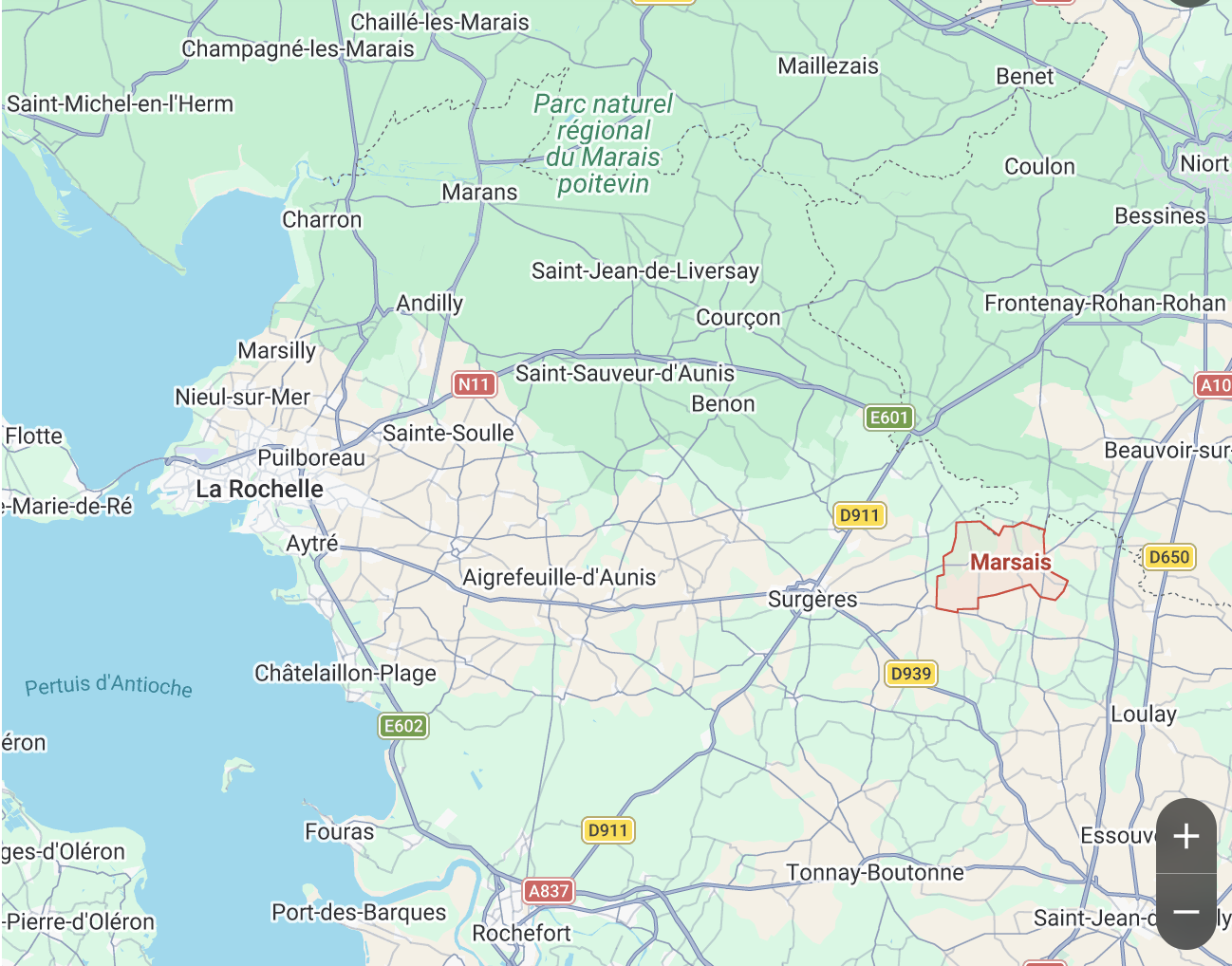
Marsais ligt hier, tussen Surgères en Loulay, ten oosten van La Rochelle. Gebruik dit als referentie om in te zoomen op de kaart hieronder.
Satellietdata van actieve brandhaarden (afgelopen 3 dagen, binnen ~200 km van Marsais).
Kleuren: Groen = laag risico, dichtstbijzijnde brandhaard verder dan 75 km. Oranje = matig, tussen 25 en 75 km. Rood = dichtbij, binnen 25 km, let op.
Satellietdata, geen realtime garantie: kleine branden of branden onder bewolking kunnen gemist worden. Gebruik als extra signaal naast de kaart hierboven.